Anomaly with Thermopylae map
Posted: Fri Feb 19, 2010 8:34 pm
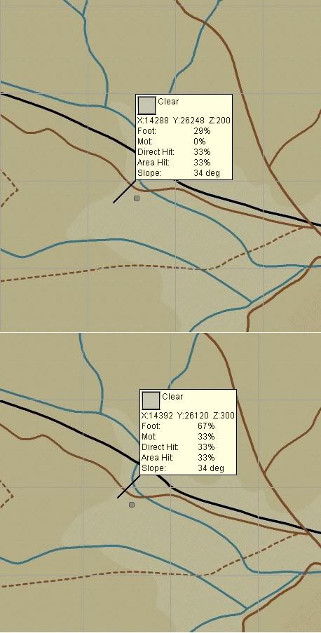
I was checking the Thermopylae map data, and found a distinct height break between the 300m and 200m contour - passing between 400 and 300m the terrain spot heights grade smoothly, 421>400>373>350>320>300, but then there is an immediate drop to 200m. This only seems to affect a small area in the south central region (and by the time you are there the battle is probably nearly over, but I was wondering what the hold up was for my mech infantry column).
Additional note:
This only applies to this valley area, the transition is correct(ish) at the northern and southern ends of the central pass. Where the southern valley bottom broadens in the central area the 'correct' behaviour is not carried for this central depression area.
FWIW, the valley bottom should only be at 275m according to SRTM-3 data, so perhaps eliminating the valley contour within this region would be preferable until the map classes can updated to use additional contours (automatically generated from SRTM or equivalent data?) or a raster height map.
The artefact is quite obvious in the COTA MM height map as well, as an abrupt 'pale' transition in the centre.