First: check out the Map Maker Manual again because everything is in there and will be better than me trying to rewrite it.I am not a big fan of mission and map maker manuals either but when it is all said and done they tell you what you need to know...Just have to try and interpret what is being said.
Once you decide on the area you want to make a map of you will need to put together an Bitmap underlay map to guide you on the contours,roads,towns,woods etc.Basically like tracing with paper and pencil.You could draw the map freehand but of course you would lose accuracy most likely.
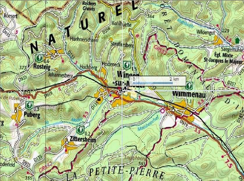
You will have to find a map of course to use for the underlay.Best to use a scanned map,possibly from a library but I just searched the net until I found one that was half way suitable.Some are much better than others.
To make an underlay: I use Irfanview (free to download)to open the map for cropping into four sections, although you can crop the map into one or even 16 pieces I believe.Probably easiest just to use one map renamed to MapScan 0.bmp
Once the map has been cropped into four sections save and rename the files to:
MapScan 0.bmp
MapScan 1.bmp
MapScan 2.bmp
MapScan 3.bmp
Create a folder for them to be saved in...
Going to add more to this ...just want to try and figure the best way to explain without getting into too many words...Will be back with more......
To start a new map open the map maker and click on file and then new...Box will open up to fill in data.
Click on map tab then click bit map underlay to make underlay appear.
Then click Bit maps across and choose whichever numbers you are using.
Have to try and remember where the Mapscan files are to be located ...working on that now....
 If necessary, create a folder called MapScans at the root level of your Game folder
 Place the MapScan 0.bmp file in the MapScans folder
Basically cropped a contour map into four pieces for most of the maps I have done

Once you have the underlay set up you are rockin and rollin...
To trace underlay just click on draw then click on control points for drawing contours (might use corner points for towns and the like)Do not make the mistake I made at first and use corner points for drawing contours..........Like most programs of this type you should run a small test map to find out what all the different buttons do....
Just follow the contours around placing points then click on the contour level box at left side of mapmaker and that will fill in the color. Start from lowest contours and work to highest contours..Guess you can go from highest contour to lowest...Just have to watch 'cause low contours will not show up over higher ones when you go to put in the color to complete or are trying to edit..
Other things such as woods,towns,streams,roads are done in the same manner....Can put them in in whatever order you like... I always draw the rivers and streams right after the contours are done...then draw the road network next...
Hope this helps....I will add to it or edit as needed...[8D]


