WIP Italy-Austria-Crotia Map
Posted: Thu Mar 17, 2016 9:14 pm
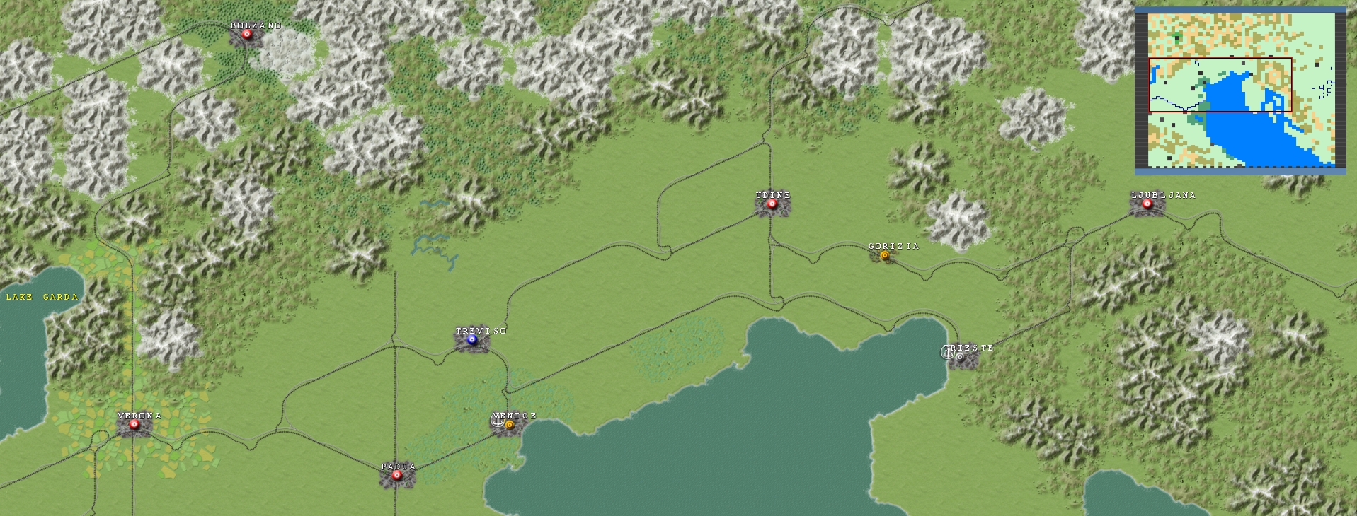
Hey all - I'm working on a new map for the Community Project in the DC: Case Blue scale. It's Northern Italy, Croatia, and parts of Austria so far - I intend to extend the map north and east at least as far as Vienna. It's not anywhere near done yet but here's a WIP shot:
I plan on using this map to model alternate history scenarios (Italy vs Yugoslavia; Italy vs Germany in Austria w/ an Austrian civil war; maybe something entirely ahistorical).
I plan on using this map to model alternate history scenarios (Italy vs Yugoslavia; Italy vs Germany in Austria w/ an Austrian civil war; maybe something entirely ahistorical).