Page 1 of 1
[Q] Can I set a map layer to display a more detailed scale than the default?
Posted: Tue Aug 06, 2024 10:44 am
by alfonslm
I know from when I was a volunteer as recon personal for the flight core I know that you usually can set the map to either display the next detail lever or previous one based on your zoom level. I can't seem to find this feature in Command so I'm currently stuck zooming to get the map I want to display over framing the area of interest on the map I want.
Re: Can I set a map layer to display a more detailed scale than the default?
Posted: Tue Aug 06, 2024 10:49 am
by Dimitris
If I understand the question, you can use a localized high-resolution overlay.
Re: Can I set a map layer to display a more detailed scale than the default?
Posted: Tue Aug 06, 2024 11:23 am
by blu3s
Re: Can I set a map layer to display a more detailed scale than the default?
Posted: Tue Aug 06, 2024 6:47 pm
by alfonslm
That tool seems very interesting, I will take a look at it

But basically what you could do with the map tool I used to use is to tell it to load the next zoom level (if i use the same name as the recommended tool) so you got the more detailed map in the second image instead of the first one so you could see all the small ilands from the example, or you could go in the other direction and get a less cluttered map that we used to draw mission plans on. (The map material was vector maps here so the rasterization scale was never an issue at least)
I will make a guess that Command don't have this feature based on your answer Dimitris but I will leave this as a feature request since it should be pretty easy an non intrusive to implement.
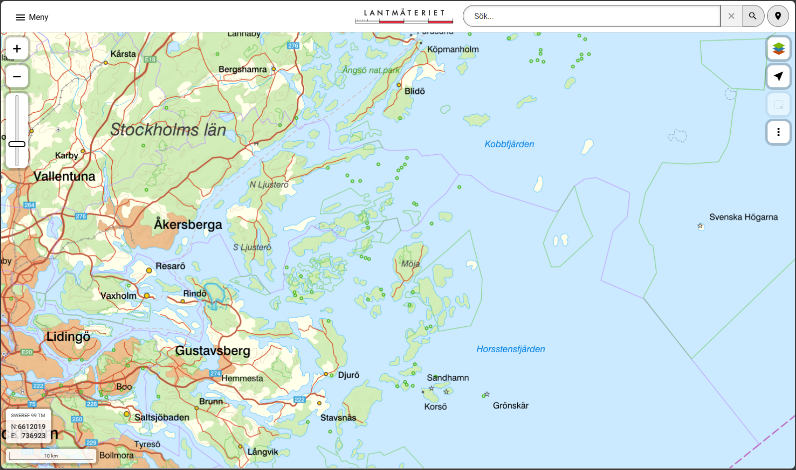
- Screenshot 2024-08-06 202732.png (1.04 MiB) Viewed 415 times
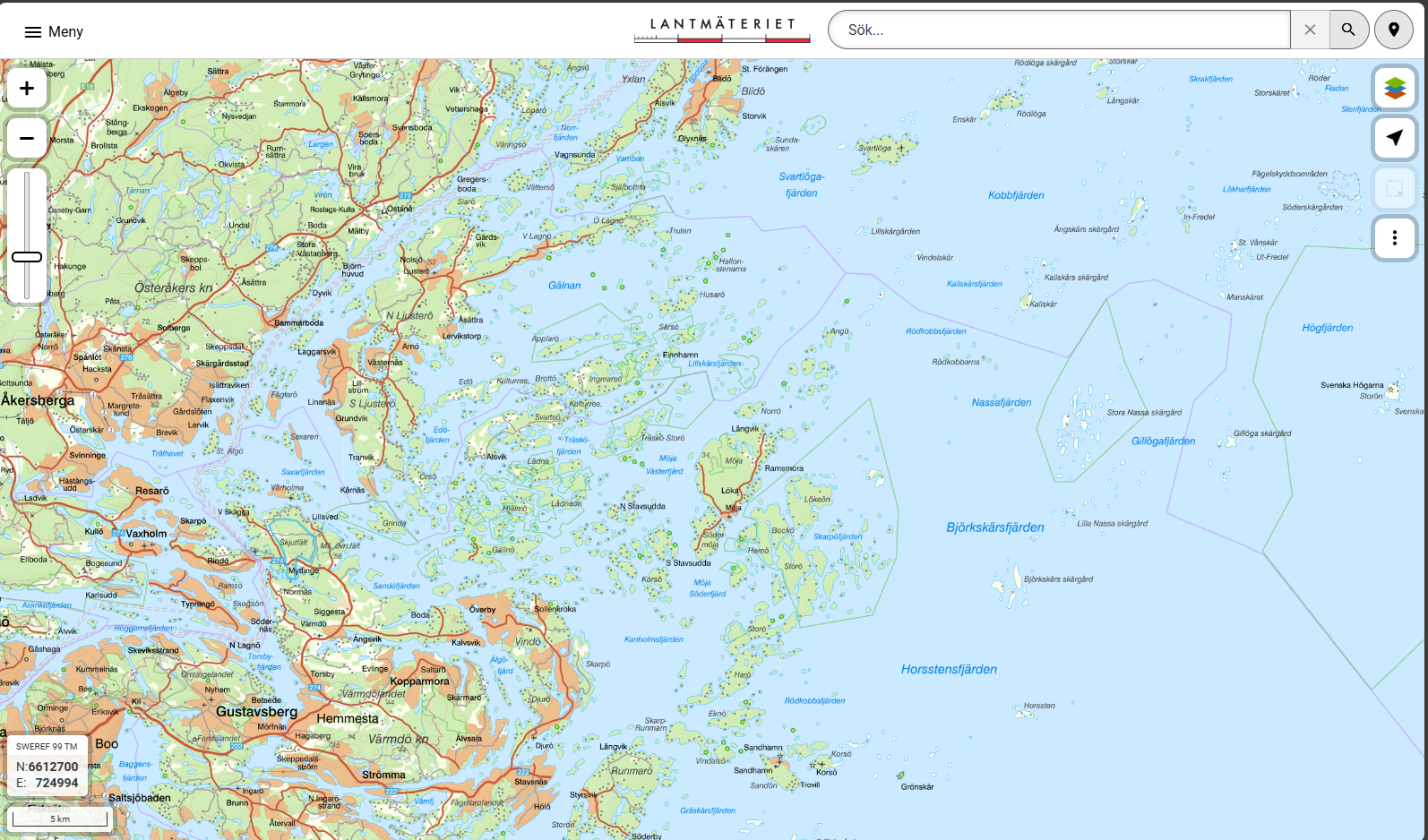
- Screenshot 2024-08-06 202653.png (1.38 MiB) Viewed 415 times
(Edit comment: I think that I actually locked the map on the most detailed version for the missions since I never had any use of the overview maps and it also stopped the map from reloading while zooming

)
