ORIGINAL: Arjuna
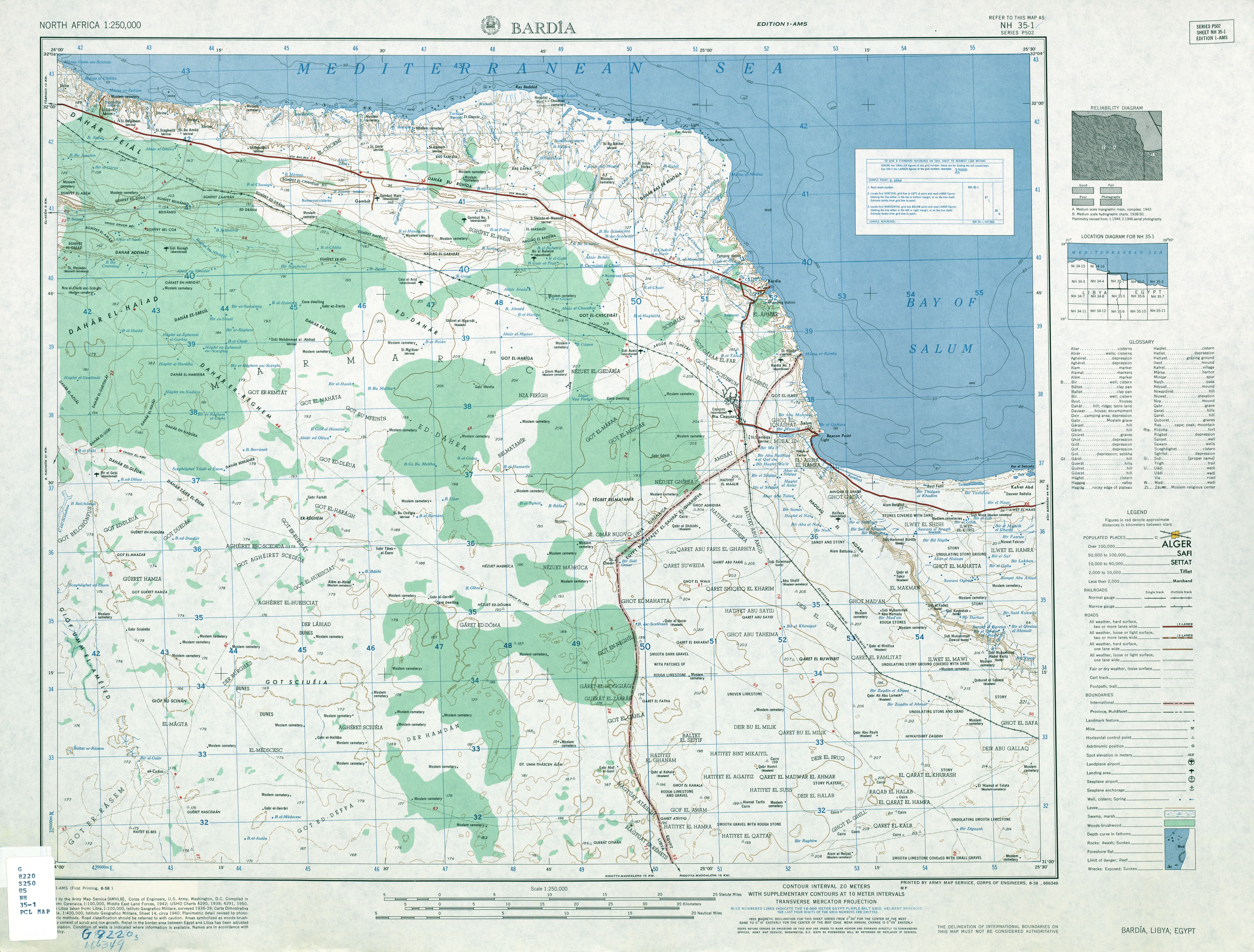
Effectively the altitide layers should be stacked one on top of the other like a pyramid, with the lowest alt layer on the bottom and the highest on top.
Ah, like a layer cake? [;)]
Of course you may need to sanke the polygon around quite a bit, but there should be no islands per se - ie you should not end up with a lower alt layer in the middle of a higher one.
So, I trace the 20m layer, and then stack the others, one after another on top?
I misunderstood the process to the extent that I thought that I could place any altitude layer on any altitude 0 area so long as the former was properly coded.
I don't want to belabor the point, but do I have to draw in ALL of the lower altitude layers before I can draw a higher one?
For example, Do I have to draw a 20m layer over the top of the entire (non-0) map before I draw any 40m areas?
It doesn't really matter, excepting I'll have to plan very carefully ahead of time.
There are a lot of inland basins on the map I'm working with, and they'll tend to go unnoticed until the higher layers are already done.
Thanks for sticking with me on this one!
Government is the opiate of the masses.


