

It seems that the Burma Road, at least the part that is in Burma, is not well traced in MWiF [:(].
Look at the attached picture.
Top left : How MWiF has it now.
Top Right : As WiF FE has it.
We see by comparing them that MWiF does a good job in making the map the same :
The road starts from the northern "unfinished" railway, toward China.
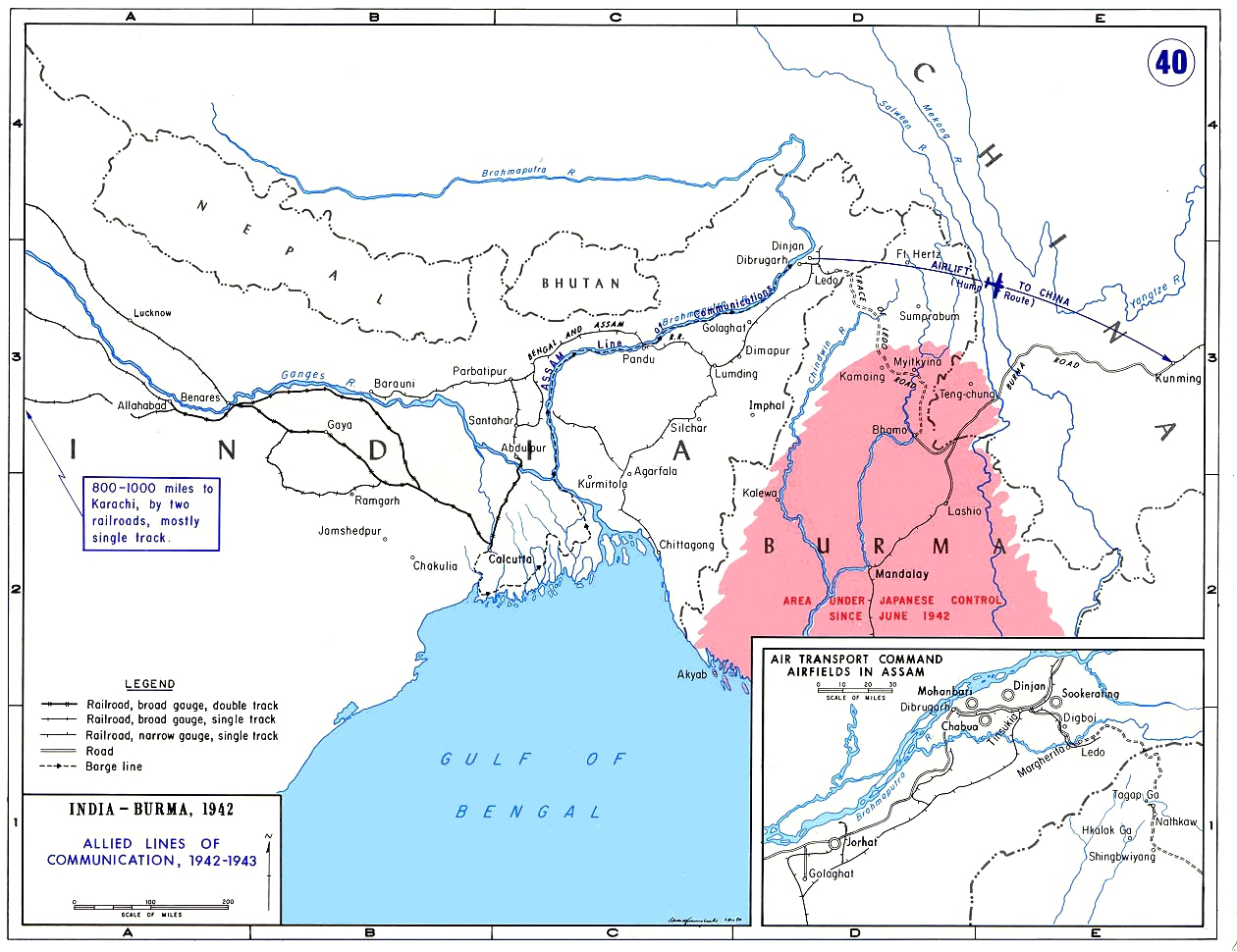
Bottom left and Right are maps of the area that show the Burma Road.
And both show it starting from Lashio (the end point of the southern "unfinished" railway), toward China.
Well, what do you think about this ?
Are both bottom maps an error ?
If not, should MWiF has a wrong Burma Road, just for the pleasure of repeating the WiF FE map error ?
Opinions ?


