ORIGINAL: Grognard
I'll be very interested in your progress as I've been noodling around with my "Avalanche" scenario for some time now. I'll return to it in earnest after 3.5 debuts. I've had a dickens of a time finding contemporary ('43) (or any!!!) topo maps but I have collected a fair amount of operational maps - some are quite good and detailed. There will be quite a few escarpments. Of course my biggest map issue is where woods were......
BTW - 1 km/hex - company level - 6 hour turns. I firmly believe this is the best scale as the battlefield was comparitively small, the total OOB is about 9 divisions and at 6 hour turns we're looking at less than 30.
My biggest design issue is how to treat naval support fire. Without it, Clark (what a tool) re-embarks for sure...
You maybe want to look at Anzio 1km. I used multiple equipment pieces to simulate one ship. That worked pretty fine. Though it might be better to wait until 3.5 as it will offer a better naval combat engine and you would have to switch the setup if you use mine from Anzio under 3.4.
Initially i wanted to do a mere Avalanche/Salerno scenario, but the developments there were in part dependent from Monty's progress in the south. What if Monty would have been successfully delayed a bit more? Therefore i wanted to paint a bigger picture, hence the BIG map. Also, the map could be used for other scenarios too, like Operation Diadem/Buffalo. Btw, i already did a part of the Avalanche OOB at the battalion level some time back, if you like to compare it with your work, drop me a mail or a PM.
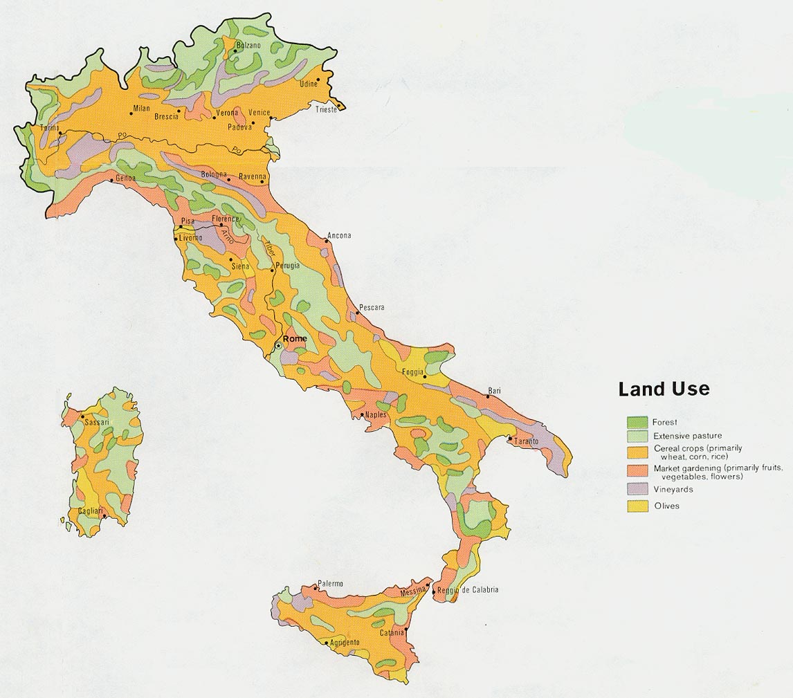
Of course my biggest map issue is where woods were.
Welcome.. indeed this is a problem! Luckily the Romans did most work for us.. [:D] and mountaineous terrain doesn't go together with forests in the TOAW map editor, so... okay this is a bit lame..
I'm leaning partially on the data i get from google earth, though there was quite some change since the 1940ies. What could help for your Avalanche scenario is to look at contemporary photos which you may find by a simple google search. You will also find photos of the Salerno battlefield, beaches etc. in this CGSC publication:
http://cgsc.contentdm.oclc.org/cdm/ref/ ... l8/id/3987
Parlare italiano? The
Italian Istituto Geografico Militare has some historical (1936) maps about this topic, i.e. this one:
http://www.igmi.org/ancient/immagine.php?cod=12799 Though the scans are low res previews and it's a pain to search through their database, not only because it's in Italian. Try to look out for maps which begin with "CARTA FORESTALE DEL REGNO D'ITALIA... ". Starting page:
http://www.igmi.org/ancient/.
I also found this one from 1972:
http://www.mapcruzin.com/free-maps-them ... d_1972.jpg which however is only of limited use for small scale maps.


 up ! and down !!'). Looking at the earlier snap shots, I wonder if you will include all of Sicily or just the Messina 'tricorne' ? Also, what are the U by the Passo S. Fili ?


