

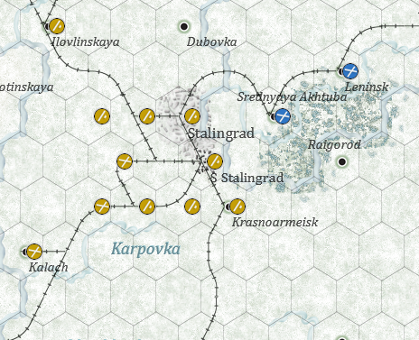
Stalingrad urban disposition was along the Volga, however in the map it occupies the whole hex.
There are some strategic pictures of the Luftwaffe online.
https://www.stalingrad.net/german-hq/ae ... ctures.htm
The better for the question is this.
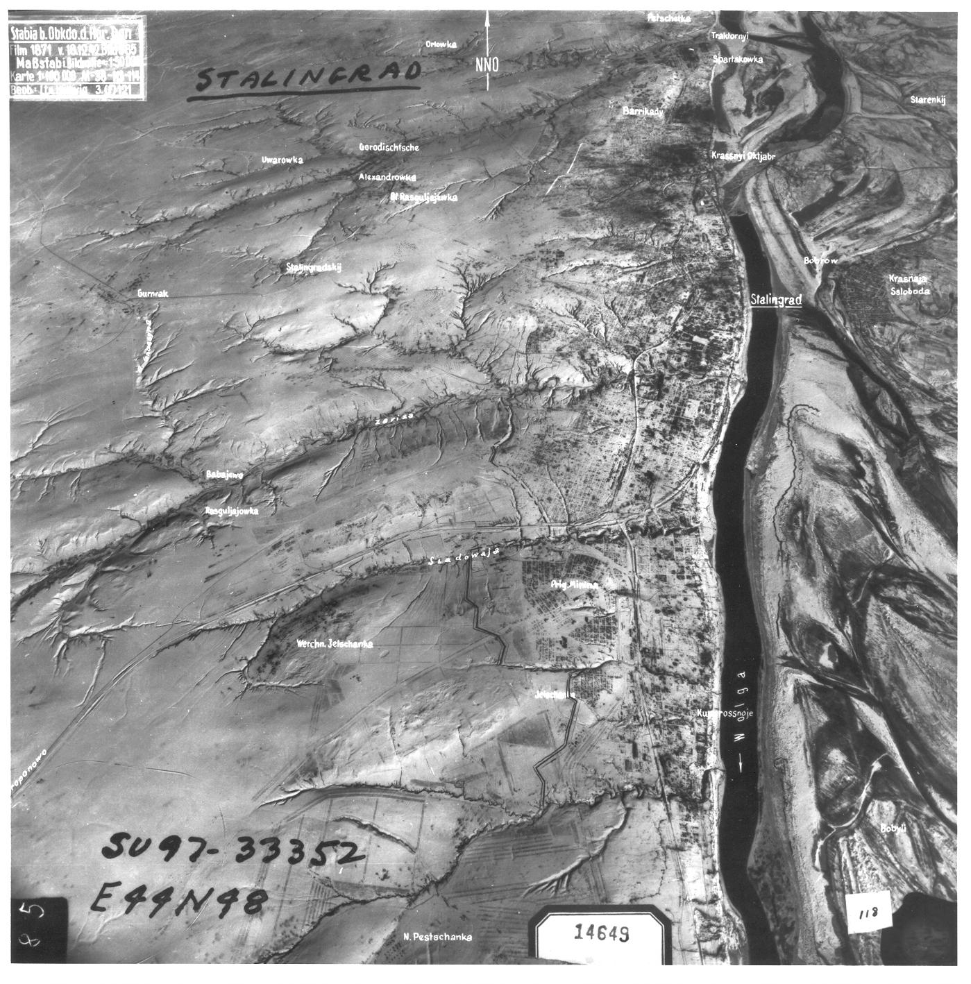
The scale seems to be 1:50000
The rounded measure I have done in the pic is 10 cms wide for the urban Stalingrad, so that is 500000 cms or 5km.
If a hex is 10 miles or 16 kms, the urban should occupy less than 1/3 of the hex, that I think is the usual view we have of Stalingrad along the Volga.
However there is not a tile that can represent this disposition, the only one could be urban 007 but rotated.