

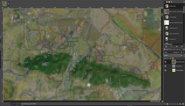
Terrain bmp layer + 2048 pixel Satellite layer with slight transparency from GIMP.
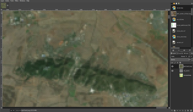
2048 pixel Satellite layer only. AB map editor preview (pressing T) looks like this as well. If I use higher pixel, it looks a bit better but still not that useful for detail work.
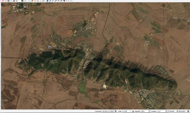
This is what the region really looks like from QGIS.
As you can see, from 2048 pixel, a lot of details are ignored. Dirt road networks are gone, and towns are pixelized so hard to tell which one is 2x1 or 1x2. Do I need to ignore all those narrow dirt road networks and all those details? I wish to depict the details but this consumes too much time and hard to check.
So far I directly draw from AB map editor, checking 6144px or 4096px preview (satellite map) by pressing T. But this takes too much time and hard to check those details.

This is what terrain bmp looks like from GIMP.
22sec and CCIP once told me that I need to draw base terrain.bmp from GIMP to work in AB map editor, and CCIP draw me one. May I ask how can I draw that base terrain.bmp from GIMP, so that I can work more efficiently from AB map editor? Do you guys would ignore those dirt roads and detail description of towns (which can be shown from high quality satellite), if it were you?


