From
http://www.warfaresims.com/?cat=126
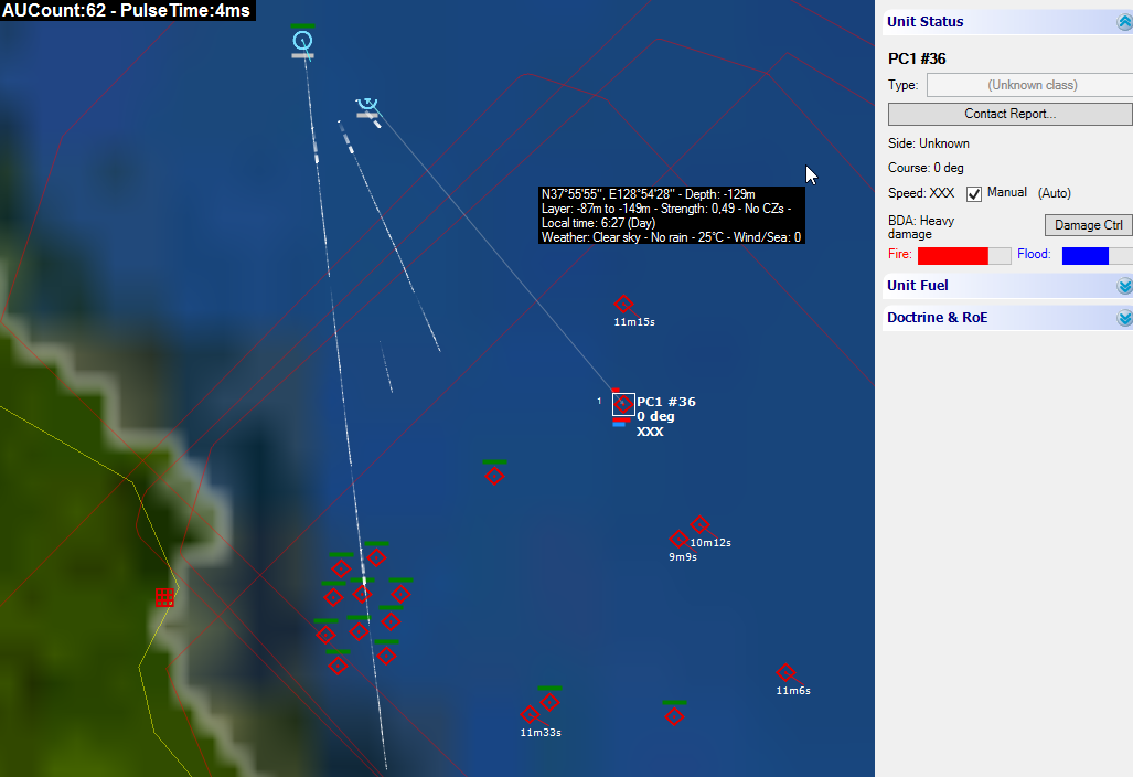
Detailed terrain: Command uses as its base terrain reference the Shuttle Radar Topography Mission (SRTM) dataset. This digital terrain model features a base resolution of 3 arc-seconds (~900m/cell at the equator), thus allowing for unprecedented terrain detail benefiting air, naval and land operations alike (LOS now actually matters). (I think this refers to the relief layer.)
AND
Command’s built-in map layers include a global “Blue Marble NG” tileset and a custom relief layer derived from our terrain elevation data. Pretty as they are, their true value lies in their tactical utility: Depth and elevation can be some of your best allies if you understand and use them properly, or your worst enemies if you ignore them. (Blue Marble NG has AFAIK a resultion of 500m and is the tileset used as standard)
Anyways, that's what's in the description of the game, and that's what's delivered (+ the possibility of adding custom overlays).
Surface area of the earth is approximately 510.072.000 square kilometers. At 500m resolution each square kilometer has on average 4 data points, that's about 2 billion data points total. Let's assume you want to take that down to 10m resolution. In that case 1 square kilometer would be 10.000 data points. That would be 5.100.720.000.000 data points or about 5 Terabyte of data (assuming 1 bype per data point and no compression). Even at 100m resulution you end up with ~51 billion data points (Again at 1 byte per data point that's 51 Gigabyte). I am sure you get the idea as to why that's impossible to include...
Cheers,
JP
Edit: someone correct me if my math is totally wrong
Edit2: Of course I know this could be compressed, but even if we assume everyone has large enough harddrives and enough bandwidth for the download it would still be a huge problem to get the hands on the data in the first place. Companies like google spend millions (if not billions) on generating data like that.